The Group On Earth Observations Atlas (GEO-Atlas) primary objective is to create the world’s first comprehensive, standardized, and open-access geospatial resource for mapping and monitoring the distribution and extent of all Earth’s ecosystems. The World Ecosystem Extent Dynamics project, as a technology partner feeding into this initiative, presented its interaction with the GEO-Atlas in the high-level side-event “From the Global Review to National Action: Closing the Ecosystem Mapping Gap with the Global Ecosystem Atlas” on Tuesday 27 October at the CBD COP17 in Yerevan, Armenia.
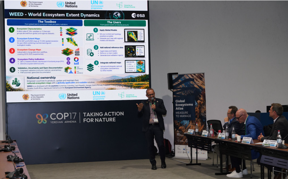
Marc Paganini (ESA) presenting the WEED project at the GEO-Atlas side event at COP17.
More particularly, the WEED project (i) uses the Atlas gathered training data (EcoTrain) to train machine learning models, (ii) empowers countries to contribute to the Atlas by using the WEED toolbox to generate national ecosystem extent maps, (iii) provided the cross-reference table to transform European habitat maps (following the European Nature Information System, EUNIS) into the international IUCN-GET typology for integration in the Atlas.
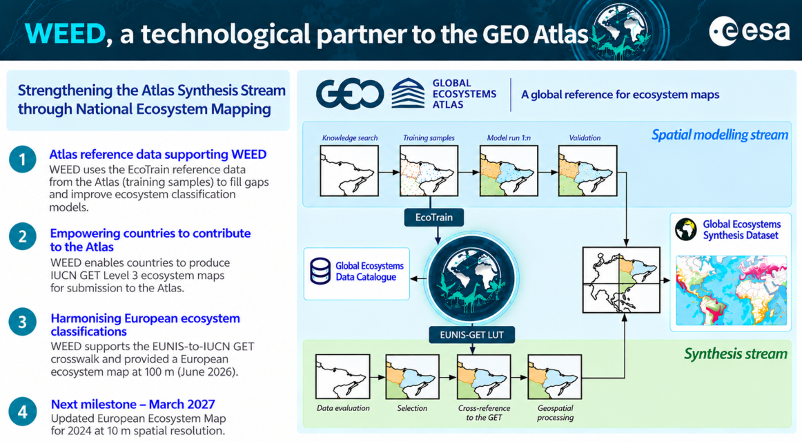
The contribution from WEED as technology partner to the GEO Atlas Initiative.
